

Maritime Communication — Decoding NAVTEX & WEFAX Signals
A deep dive into maritime weather signal decoding using SDR techniques and open-source tooling.
Cybersecurity Services — Security Research — Tactical Technology Development
OBSECURITY operates at the intersection of offensive security and tactical intelligence. We help organizations understand and reduce cyber risk through rigorous technical assessments, independent research, and advanced technology development.
Our dual-focus approach ensures a clear separation between our professional Cybersecurity Services and our HavocTAK Platform, while maintaining the highest standard of excellence across both domains.
Comprehensive offensive security assessments backed by manual validation and risk-based reporting. We simulate actual adversary techniques to identify weaknesses before they are exploited.
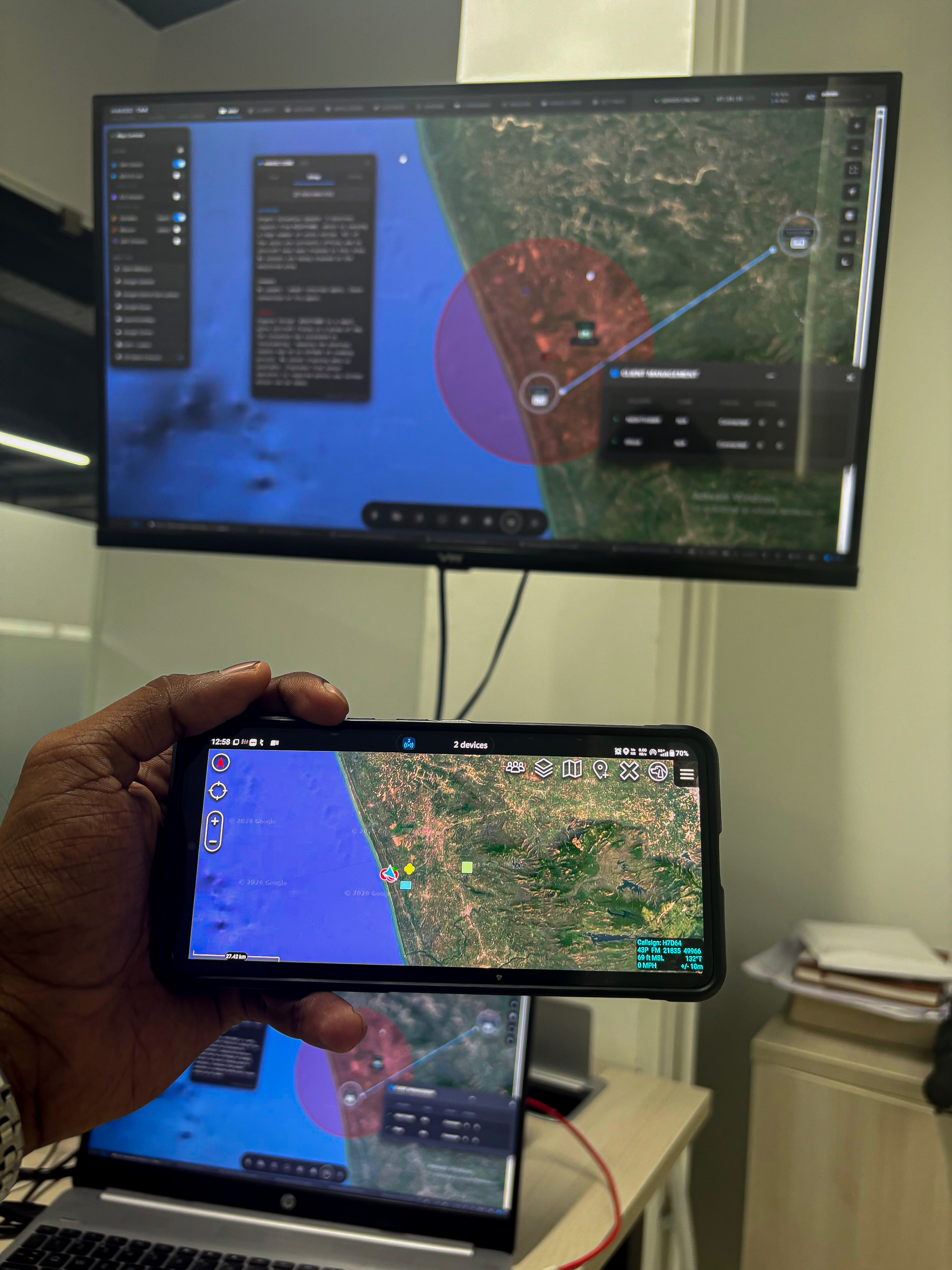
Multi-stream intelligence fused into the TAK ecosystem. Real-time tracking, AI coordination, and full-spectrum ISR tailored for tactical coordination and situational awareness.
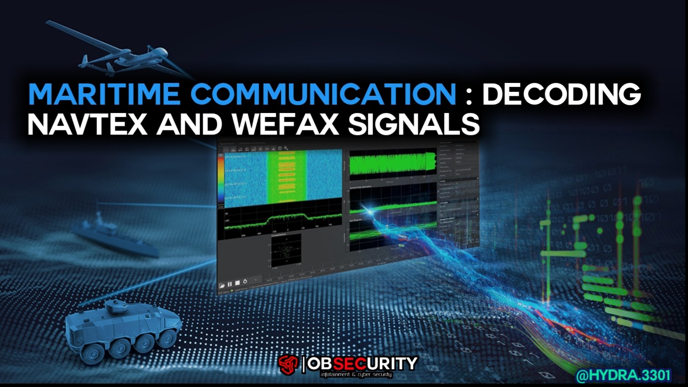 MARITIME SIGINT
A deep dive into maritime weather signal decoding using SDR techniques and open-source tooling.
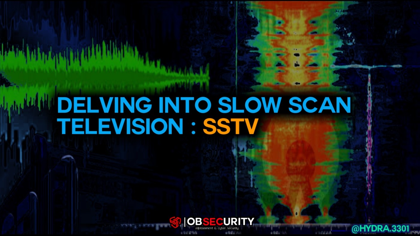 COMMUNICATIONS
Exploring SSTV transmission modes, decoding methodology and signal behavior with RTL-SDR hardware.
Reach out to discuss how OBSECURITY can assist your organization with security assessments, technology development, or platform access.

